

Lost in the jungle trails…

The best way of exploring the woods or deep jungles is by hiking your way through. I am not a hard-core hiker, choosing the toughest trails and climbing ledges as I scale up. However, I enjoy an easy to moderate level of hike that makes me happy and exposes the untapped, virgin woods of the city. Keeping the concept of experiencing a different side of the highlands in mind, my adventurous hubby and I set out to explore the jungle on foot.
As exciting as jungle hiking sounds, following the trails in Cameron Highlands could be really confusing. Though there are 14 trails, with varying levels of difficulties, they are not marked too well. Here are a few points on 3 trails, that we feel might help, based on our experience of hiking the jungle trails in the month of February…


Jungle hiking tips:
- Apply sunscreen and use an insect repellent
- Read the specific instructions of the trails you want to visit before heading out
- Take a map or download offline maps from Maps.Me or install Waze on your phones
- Get in touch with a guide through travel agencies to trek the deep and tough jungle trails
- Carry along snacks, water, sunglasses, cap or scarf, medicines, band-aids, torch
- The trails are not marked properly. Map it out clearly before you start your hike
- Most of the trails are closed during December and January


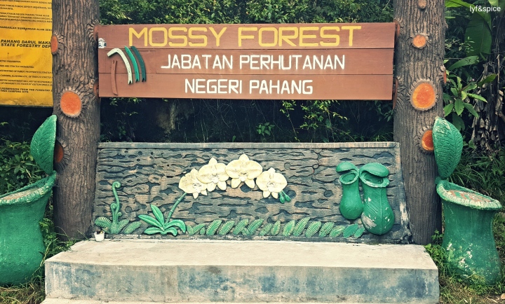
1. Mossy Forest:
We read that Mossy Forest is no short of a fairy tale, set in a mossy environment of lush green. In fact, it is called so due to the blanket of moss that envelops the trees.

Tips:
Which trail do we take: Take the trail leading to Mossy Forest. It is really exciting and beautiful, and consists of well-laid roads surrounded by tea plantations and picturesque views. When you reach the entrance to the forest, continue uphill (take a slight left), before entering the forest.
Watch tower: Turn left(ish) and walk a few meters until you reach one of the highest points, the Watch Tower of Gunung Brinchang. Gunung Brinchang is the second highest peak of the highlands, over 2,000 metres above sea level. If luck’s on your side and the view is not clouded by mist, you will be able to get a bird’s eye view of Pahang and a glimpse of Perak as well.
Hiking through the forest: The trail within mossy forest is paved and comprises of proper wooden steps and bridges to explore the forest. It didn’t really excite us as it was too simple and easy to walk around. Moreover, we couldn’t see too much, owing to low visibility. A blanket of mist envelops the forest even in the month of February. The trail leading to the forest starts from the Boh Tea Plantation (Sungei Palas) or near Copthorne Hotel, Brinchang – these are the ones we explored, though there are more trails leading to the forest. We spotted a few insectivorous plants, but nothing else of significance.
Suitable for: The trail in the forest is good for families or people who just want to casually walk along the forest and have a good time. It is definitely not for hardcore hikers or those seeking adventure in the bed of moss.


Left: (Top) Steps leading to the Watch Tower
Left: (Bottom) Steps inside the forest
Right: At the highest point of Gunung Brinchang. Yes, that’s how cold and windy it was 😉
2. Jungle Trail No. 4:
This trail is an easy one and leads to Parit Falls and takes about 30-35 minutes. Stop to explore pine cones along the way, take a peek at the water flowing from the falls way below and imbibe the vastness of the jungle.

Tips:
Start point: We walked all the way from Brinchang hills down to the main city and finally to Tanah Rata. Once we got there, we took the Golf Course road and walked along it till it led us to the Forest department. (Total distance covered on foot = 7.5-8 kms approx)
Markings: As you walk along the Golf Course, you will see Jungle Trail No. 3 marked on the left hand side. We cut our trek short there and took a U-turn to head to Trail No. 4.
-> Continue walking to the Forest department and click a picture of the instructions for Trail No. 6 and Parit Falls.
End point: The trail leads to a bridge that opens out to a picnic spot, the perfect place for family picnics. If you want to see Parit falls, continue walking to the right hand side. (Total Distance from the Forest Department to Parit Falls and out = 2-2.5 kms approx)
Parit falls: While in most cases we say our pictures do no justice to the beauty of nature, in this case it is just the opposite. The picture of Parit Falls (above) has come out way better than what the falls really look like. This may be because of the filth surrounding the falls, which is not visible in the photo. We were sad to see plastic waste and other forms of garbage lining the area around the suspension bridge and rocky areas near the falls. However, the rest of the hike was beautiful as evident in the pictures below:


3. Trails No. 9 and 9a:
We haven’t been to these trails, but we heard a lot about them from locals and tour guides. Here’s a gist of all that we heard:
- These trails are steep and very slippery
- There are a lot of angry dogs along the trail
- You might get rashes if struck with Poison Ivy. Stay safe
- The trail leads to Robinson Waterfall, which is very rewarding
- We heard some people were robbed at knife-point while hiking here
- It is advisable to walk in big groups for safety
- The path to 9A is very blurry and confusing
- Not suitable for solo female hikers


Walking along the Golf Course towards Trails 3 (left)and 4 (right). Notice how some of the trails are marked (yellow highlight)
Here’s the link to the site I visited before hiking -> Hiking Guide
More on Cameron Highlands to follow soon… Stay tuned!
Till then enjoy my travel posts on Instagram.
Read – Smile – Travel
The post first appeared on Lyf&Spice


Thanks a ton
LikeLike
Thank you for the great suggestions and tips! I will be sure to check some of these out on my next trip back to KL. Great pics too!
Kristie – you.theworld.wandering
LikeLiked by 1 person
Yes, very b’ful indeed. No guide books as such, but you could maybe follow the link in my blog for easy trailing + download an offline map 🙂
LikeLike
Looks like great hiking! Too bad about the lack of markings, and trash in some areas, but the surrounding nature sure is pretty. Besides the signs, were there guidebook that you would recommend for the trails?
LikeLiked by 1 person
Sure was.. thanks for stopping by 🙂
LikeLike
Wow! What a great journey!
LikeLiked by 1 person
True… Was like a dream come true for me too 🙂 Do visit soon. Hugs!!
LikeLiked by 1 person
Trekking in the Cameron Highlands (and strawberry picking) have always been dreams. I really enjoyed your posts!!!! Thank you. #MondayEscapes
LikeLiked by 1 person
Hah!! Now that’s a good idea 🙂 🙂
LikeLike
I’d hire a guide for sure and would avoid routes 9 and 9a regardless of the trekking group size and guides #MondayEscapes
LikeLiked by 1 person
It sure is.. and there are so many trails with varying levels of difficulties 🙂 Cheers!!
LikeLiked by 1 person
Oh brilliant!! Nice to hear that 🙂
LikeLike
True that.. Wish the people visiting would carry their own dumping bags and not throw waste in the waterfall 😦 Here’s hoping to cultivate more civic sense in people…!! Psst.. I love MondayEscapes – had to link up 🙂
LikeLike
wow it looks os beautiful, I bet there is so much to see if you take your time. Such a shame about the rubbish in somewhere so beautiful, thanks so much for linking up #MondayEscapes x
LikeLiked by 1 person
A great detailed guide! This adventure is actually one of my travel bucketlist 🙂
LikeLiked by 1 person
Great guide. I’d love to go to the Cameron Highlands so enjoyed seeing your photos. It looks like an inspiring, magical place to hike! #mondayescapes
LikeLiked by 1 person
Brilliant! Neither do I… I try to walk it as much as I can… Wishing you the best… Happy travels! 🙂
LikeLiked by 1 person
I always refuse to take a cab when I arrive at a new destination and walk instead (unless the walk is over an hour and I have my luggage). Like you said, it’s just the best way of touring a city. I’m actually back in America for the first time, and I’ll probably try to get something started here. But for my next travel spree, I have my eyes set on South America I think.
LikeLiked by 1 person
Brilliant! Riding, hiking and walking are the best ways of touring a city… Where are you headed to next?
LikeLiked by 1 person
Nice pictures and descriptions! I was just there a few weeks ago, and I remember a lot of these! Riding a motorbike around Cameron was definitely the highlight of my trip.
LikeLiked by 1 person
If you want to hike every possible trail (there are 14).. you need 3 days of hiking alone . But, if you’re looking at hiking and other activities, then 5 days. -> -> Otherwise, Cameron Highlands is best seen in 3D/2N for hiking, tea plantations, strawberry fields + other farms. (More hiking = more days) Hope it’s clear 🙂 You can refer to the guide I have linked. Besides that, you can take a tour guide with you or get in touch with a travel agent. However, none of the trails are marked well and there are chances of getting lost.
LikeLike
We did 3 jungle trails in a day… It depends on the level of difficulty. Ours were easy to moderate: Half of trail 3, trail no. 4 and mossy forest (to and in the forest)
LikeLike
How many days trip is required?Any guides available.Sounds exciting.
LikeLike
How many jungle trails did you manage and in how many days.Sounds exciting.
LikeLike
Very nice description of the journey. I felt that am with you people vicariously.
LikeLiked by 1 person